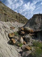
Theodore Roosevelt National Park is an American national park comprising three geographically separated areas of badlands in western North Dakota. The park was named for U.S. President Theodore Roosevelt. It has three sections: the North Unit, the South Unit, and the Elkhorn Ranch Unit.
The park’s larger South Unit lies alongside Interstate 94 near Medora, North Dakota. The smaller North Unit is situated about 80 mi (130 km) north of the South Unit, on U.S. Route 85, just south of Watford City, North Dakota. Roosevelt’s Elkhorn Ranch is located between the North and South units, approximately 20 mi (32 km) west of US 85 and Fairfield, North Dakota. The Little Missouri River flows through all three units of the park. The Maah Daah Hey Trail connects all three units.

History
Roosevelt first came to the North Dakota badlands to hunt bison in September 1883. During that first short trip, he got his bison and fell in love with the rugged lifestyle and the “perfect freedom” of the West. He invested $14,000 in the Maltese Cross Ranch, which was already being managed by Sylvane Ferris and Bill Merrifield seven miles south of Medora. That winter, Ferris and Merrifield built the Maltese Cross Cabin. After the death of both his wife and his mother on February 14, 1884, Teddy Roosevelt returned to his North Dakota ranch seeking solitude and time to heal. That summer, he started his second ranch, the Elkhorn Ranch, 35 miles north of Medora, which he hired two Maine woodsmen, Bill Sewall and Wilmot Dow, to operate. Teddy Roosevelt took great interest in his ranches and in hunting in the West, detailing his experiences in pieces published in eastern newspapers and magazines. He wrote three major works on his life in the West: Ranch Life and the Hunting Trail, Hunting Trips of a Ranchman and The Wilderness Hunter. His adventures in “the strenuous life” outdoors and the loss of his cattle in the starvation winter in 1886–1887 were influential in Theodore Roosevelt’s pursuit of conservation policies as President of the United States (1901–1909).
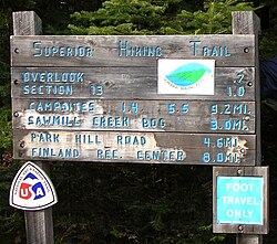
Both main units of the park have scenic drives, approximately 100 miles of foot and horse trails, wildlife viewing, and opportunities for back country hiking and camping. There are three developed campgrounds: Juniper Campground in the North Unit, Cottonwood Campground in the South Unit, and the Roundup Group Horse Campground in the South Unit.
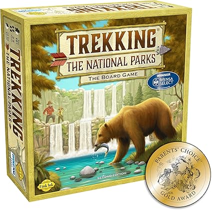
Trekking the National Parks Family Board Game
One of the most popular attractions is wildlife viewing. The park is home to a wide variety of Great Plains wildlife including bison, coyotes, cougars, feral horses, badgers, elk, bighorn sheep, white-tailed deer and mule deer, prairie dogs, and at least 186 species of birds including golden eagles, sharp-tailed grouse, and wild turkeys. Bison may be dangerous and visitors are advised to view them from a distance. Bison, elk, and bighorn sheep have been successfully reintroduced to the park.
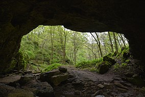
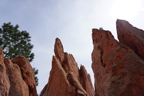
The scenery changes constantly in relationship with the seasons. The brown, dormant grass dominates from late summer through the winter, but explodes into green color in the early summer along with hundreds of species of flowering plants. Winter can be a beautiful scene as snow covers the sharp terrain of the badlands and locks the park into what Theodore Roosevelt called “an abode of iron desolation.
https://en.wikipedia.org/wiki/Theodore_Roosevelt_National_Park
For some great resources:
America’s Best Day Hikes Great Hiking Trails of the World


 O
O